If we had the time to start in Georgia and work my way North I would have. Unfortunately, Tzachi, Sauvy (our dog), and I only had five nights before we had to head to Boston.
Monday, 1st of October through to Saturday, 6th of October ~ 2012
From White Mountains, NH to Liberty Spring to Zealand Falls, AT
Map: AMC, White Mountains Trial Map, Map 2: Franconia – Pemigewasset
Key: AMC = Appalachian Mountain Club
Overall, we did not have trouble with finding water on this trail, there was ample of spring water to purify.
As for weather, we had a mixture of sun and rain, but not extremely warm days. It was common for the clouds to roll in around mid-afternoon and at high elevation, that meant walking through water.
There are a few lessons we learned on this trail.
- Most of all, as silly as it seems, we love trekking with tortillas. They last a number of days, and can easily be rolled, packed, and shoved anywhere.
- Also, we love our Jetboil. I don’t want to sound like a product endorsement campaign, but that thing can cook rice, pasta, and anything else in nearly no time. And when you don’t want to be outside of your tent in the rain any longer than is absolutely necessary, believe me when I say seconds add up to minutes and time means everything.
Trip Plan
Day 1
Starting in the late afternoon we ended up getting dropped off a little further south then we had planned. After three and a half hours of hiking and the approaching dusk, what had started as an easy trail through the forest floor quickly turned into a hike up the mountain thorough spitting clouds. Racing the clock, our hope for making it to Liberty Springs Tentsite before dark were shattering quickly. It was only luck that we saw the tent platforms only moments before pulling out our headlamps.

Tent Platforms at Liberty Springs Tentsite
Day 2
By far, this was our most productive day. After hiking the three peaks: Mount Lincoln (5089 feet), “no-name” (5928 feet), and Lafayette Mt. (5260 feet), along the Franconia Ridge Trail, we made it to the top of Garfield Mountain (4500 feet, at last light).
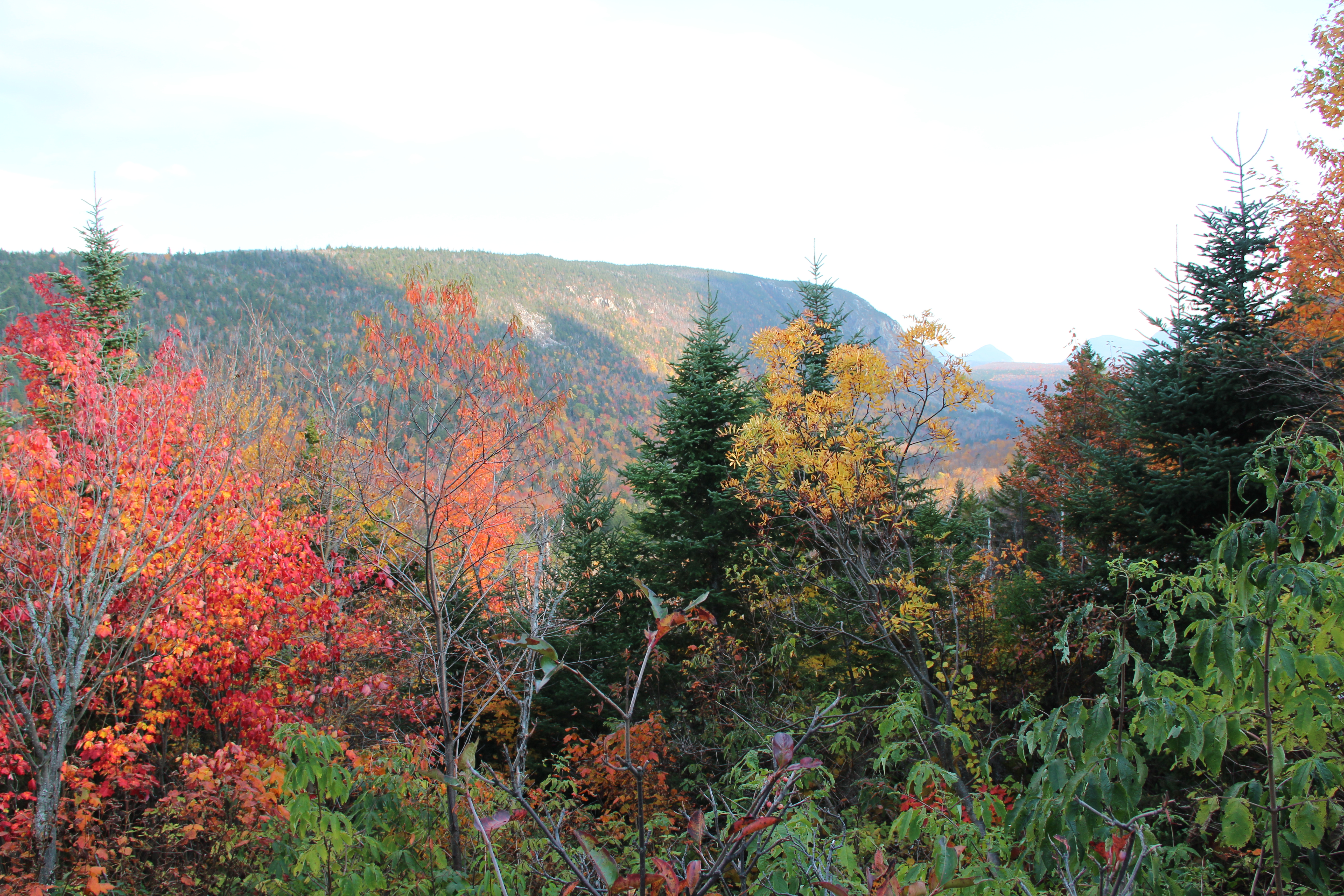
Franconia Ridge Trail offered beautiful views of the fall foliage and surrounding mountains. It was the only day along the trail that was mostly in open space, not darkened by the lush trees overhead.

A walk along Franconia Ridge Trail

The changing leaves

Fall at its peak

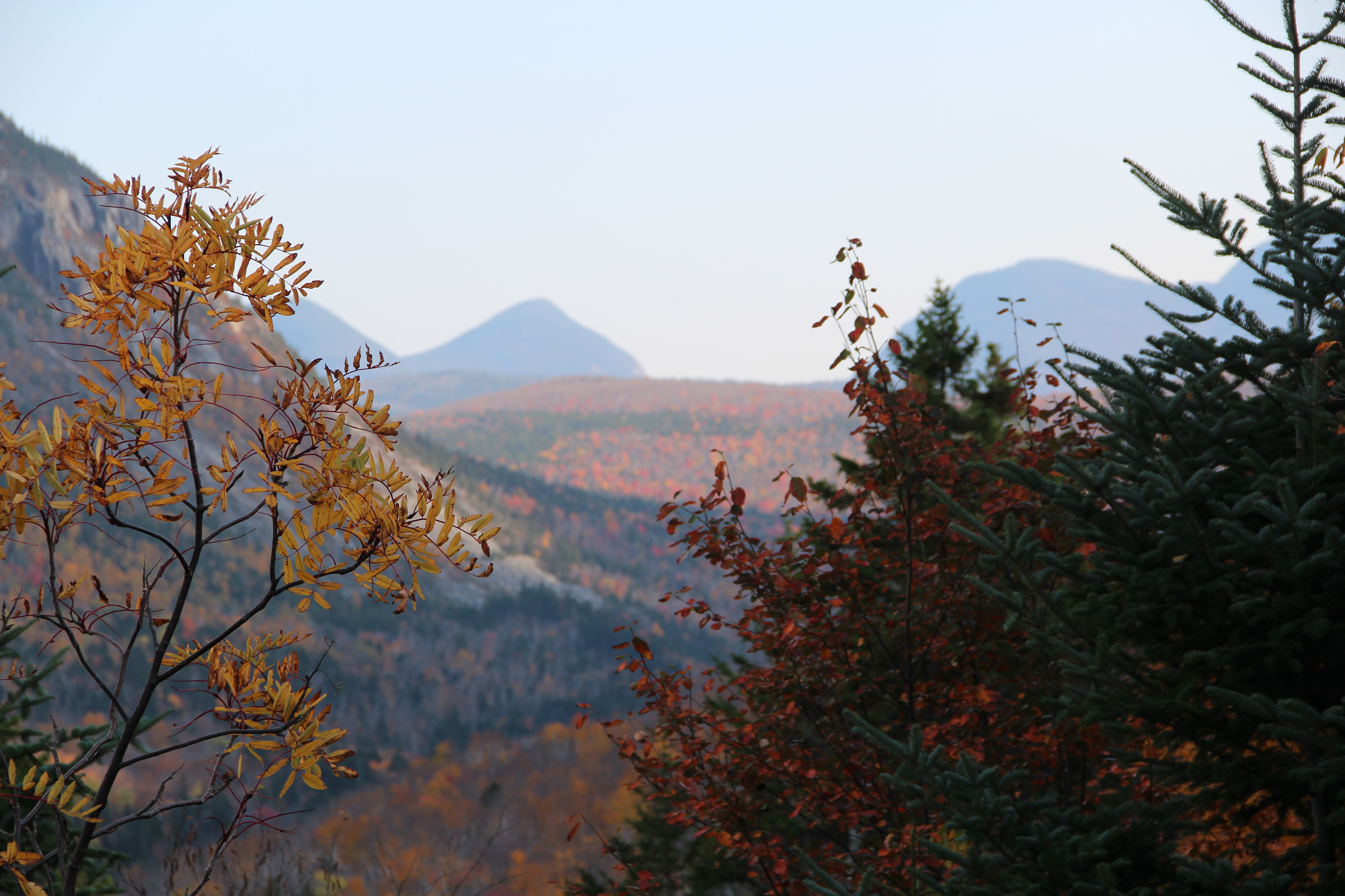
Brooke making her way along the ridge
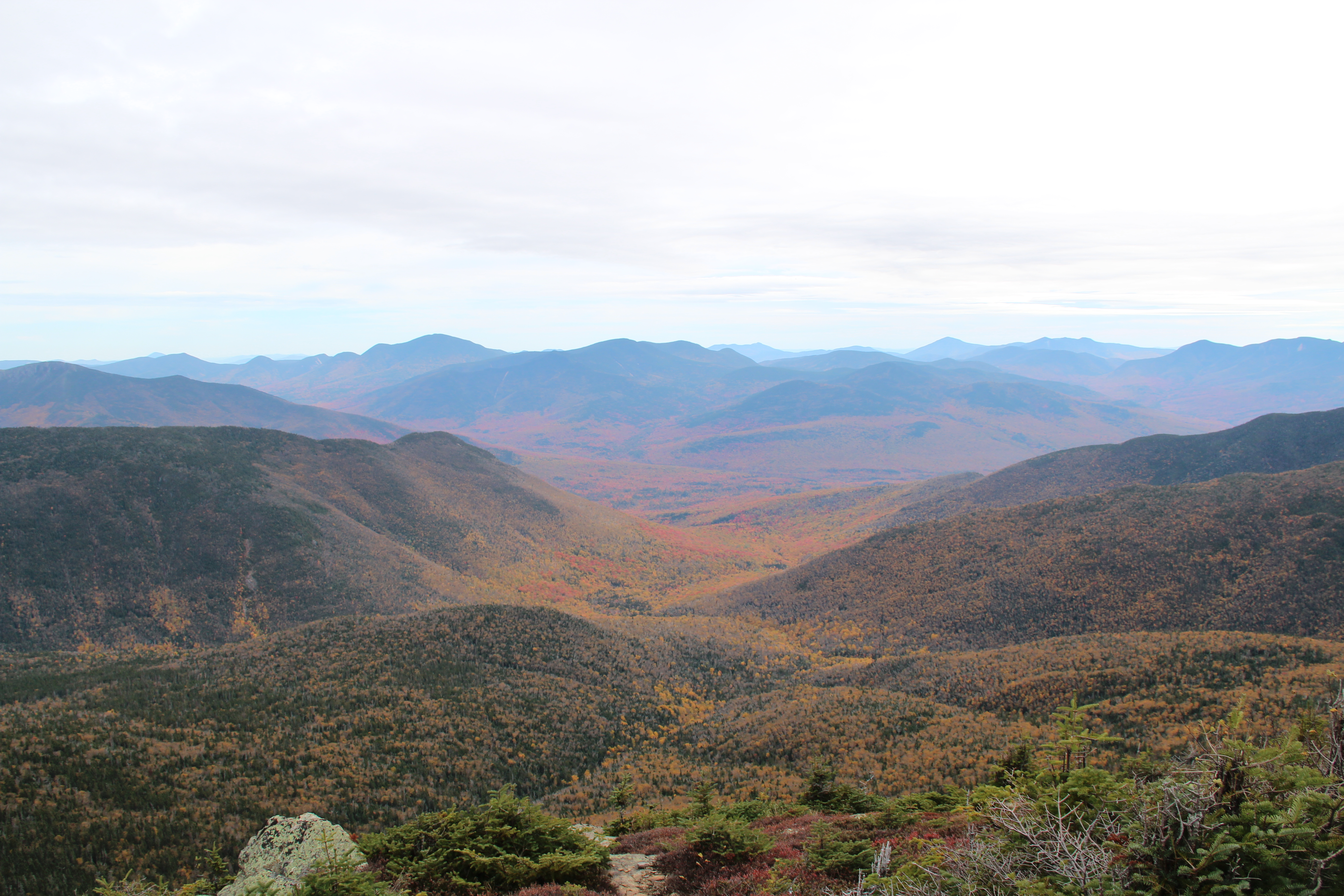
A looking into the valley

Franconia Ridge Trail

To the east

Family photo

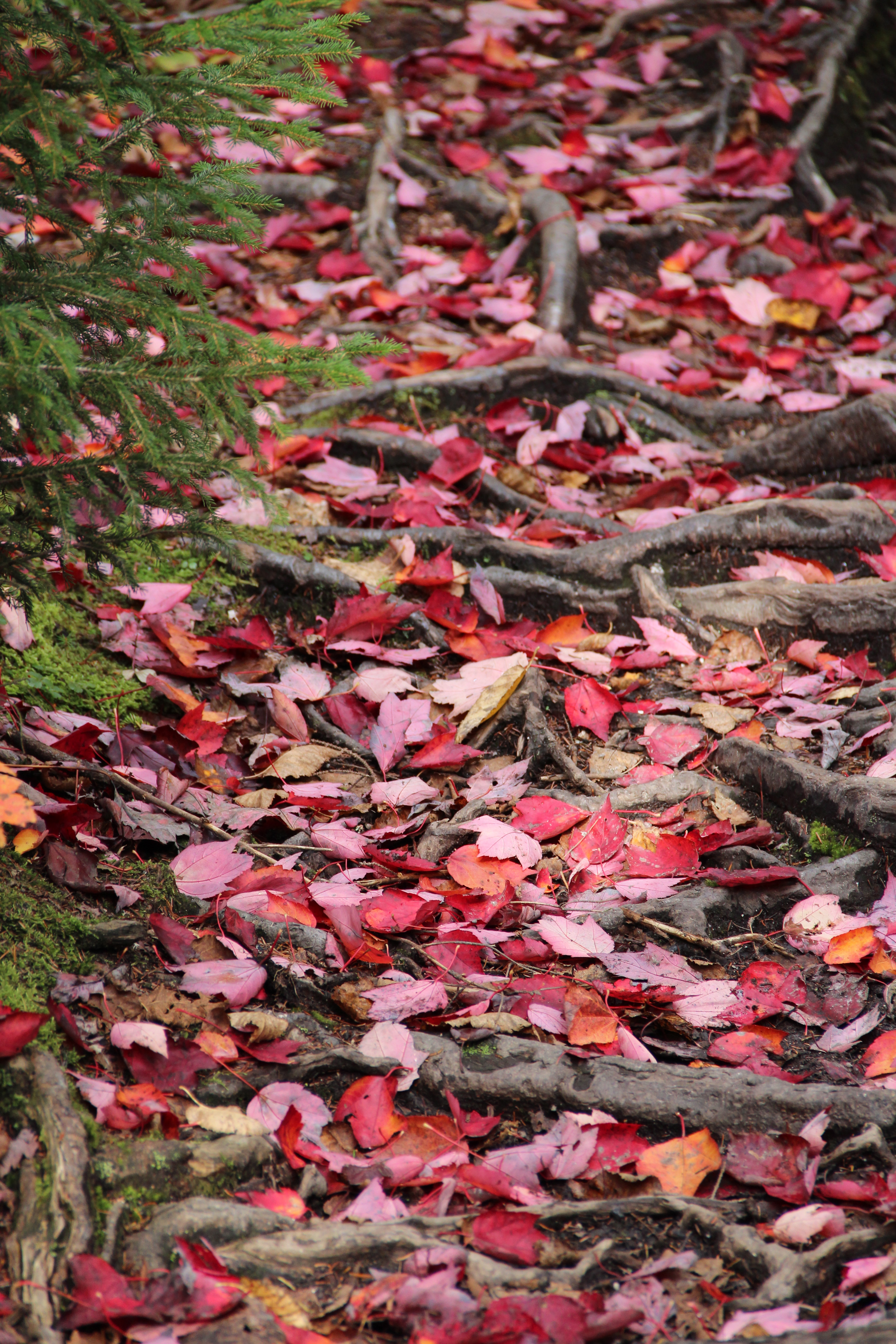
Moss covered forest floor
With the sun already bellow the horizon, we made camp on “Symba’s Rock” (my nickname, not the maps), instead of hiking the 200 feet down slippery granite to camp. Navigating down, steep mountainous rock in the dark with a dog is a little riskier than we wanted (considering Sauvy has the lovable habit of running us over).

Brooke and Sauvy on top of “Symba’s Rock,” Mt. Garfield
Day 3
The next morning we awoke to a beautiful sunrise, surrounded by clouds hovering over the mountain peaks. Disassembling the tent and packing up our bags, we split a bar and started making our way down the mountain; figuring we would catch a longer breakfast at the steam down yonder.

Morning on top of Mt. Garfield
From Mt. Garfield, we continued along Garfield Ridge Trail, making our way to Galehead Mountain (4020 feet), a total of 2.9 miles (another .4 miles along Frost Trail, off of the AT to get to the actual mountain peak).
We did take a later breakfast, during which time we also managed to purify enough new water for the day, and were on our way.
At AMC Galehead Hut, were we spent the afternoon resting and attempting to dry out our clothes.
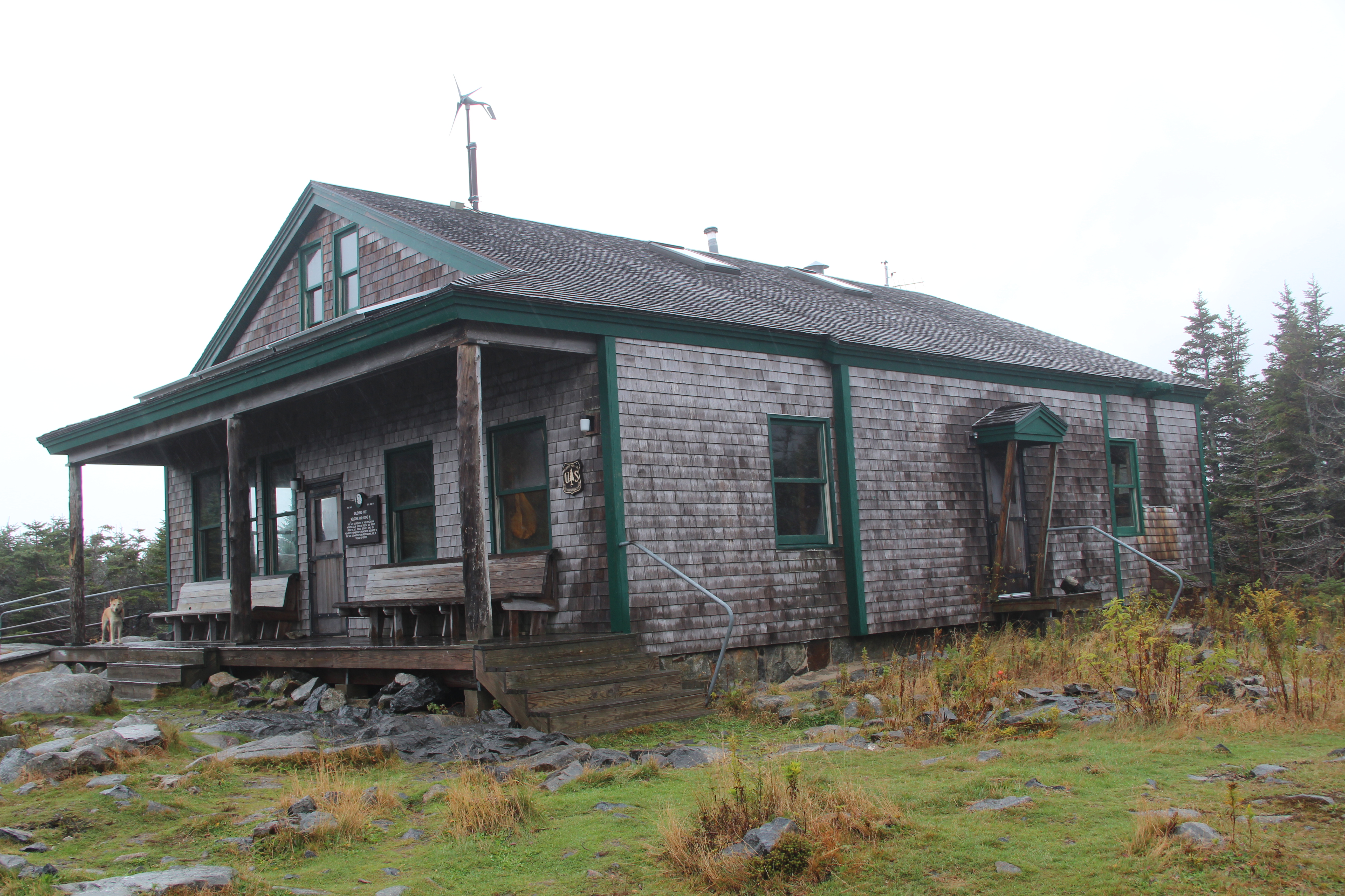
AMC Galehead Hut

AMC Galehead Hut view
Not wanting to sleep indoors, we were recommended a small campsite off the map. Walk out of Gale Hut, 250 feet down the trail and right before the large hill (big rocky climb), there is a small trail on your right hand side, through the forest. Walk down the trail, between the trees, for about a minute and you will start to see large areas of squashed moss and other signs of past campers. The site is particularly nice, since it is off the beaten path. Believe me when I say, the “past signs of campers” are very faints. The only give away that it is a camping area is that fact that there is enough room to set up multiple tents (of course, not in a row or any other distinct pattern).
Day 4
Spent the morning in AMC Galehead Hut, after a night of rain. We re-evaluted our status and received information on the updated bus schedule. After finishing off the last of our peanut butter, we were on our way.

Tzachi’s final bites
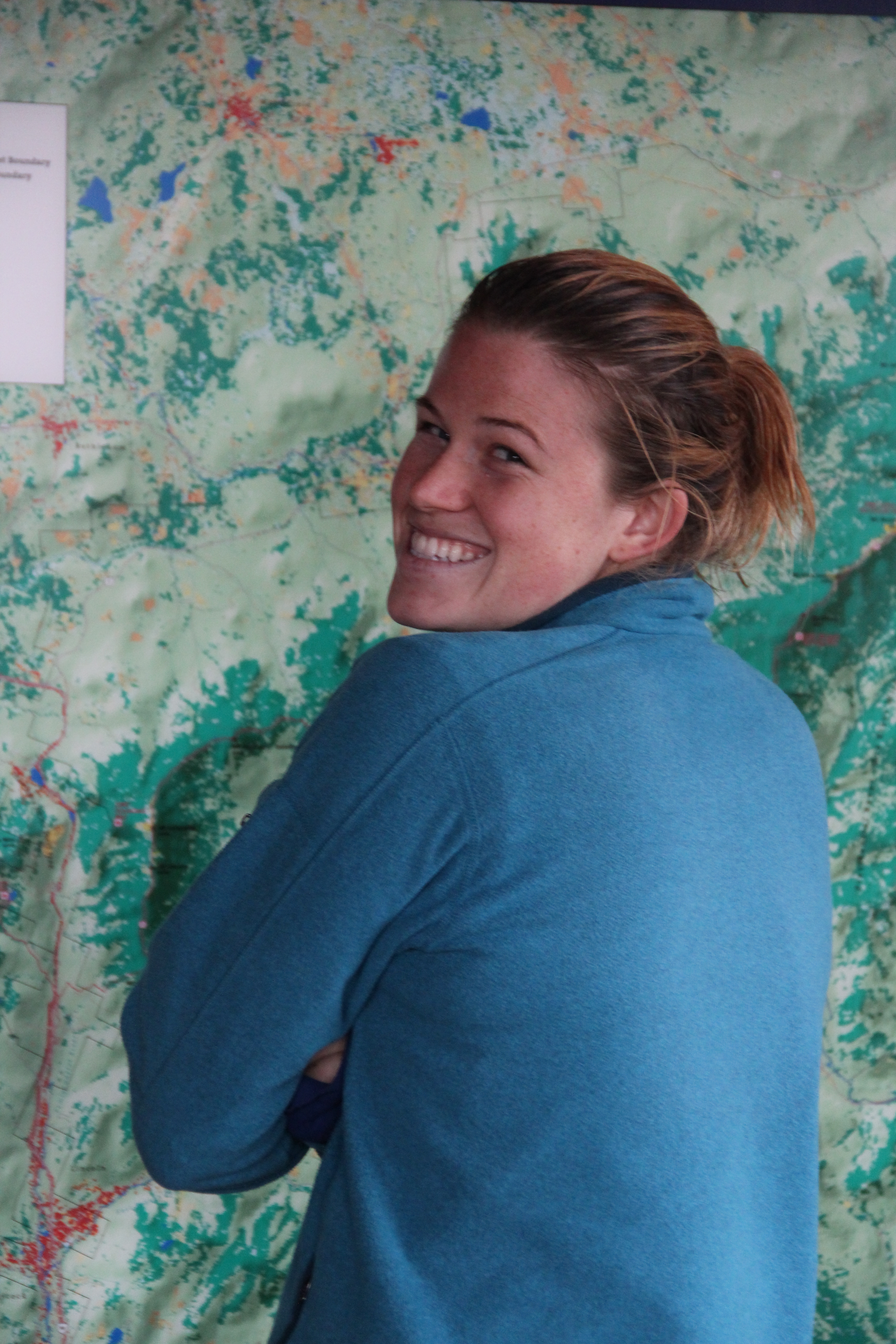
Brooke checking out wall map
Hiking along Twinway (trail) we climbed South Twin Mtn. (4902 feet), to Mt. Guyot (4580 feet), where we camped somewhere off the trail, taking refuge in the our tent from the starting rain. Where exactly we camped, I could not say.
Day 5
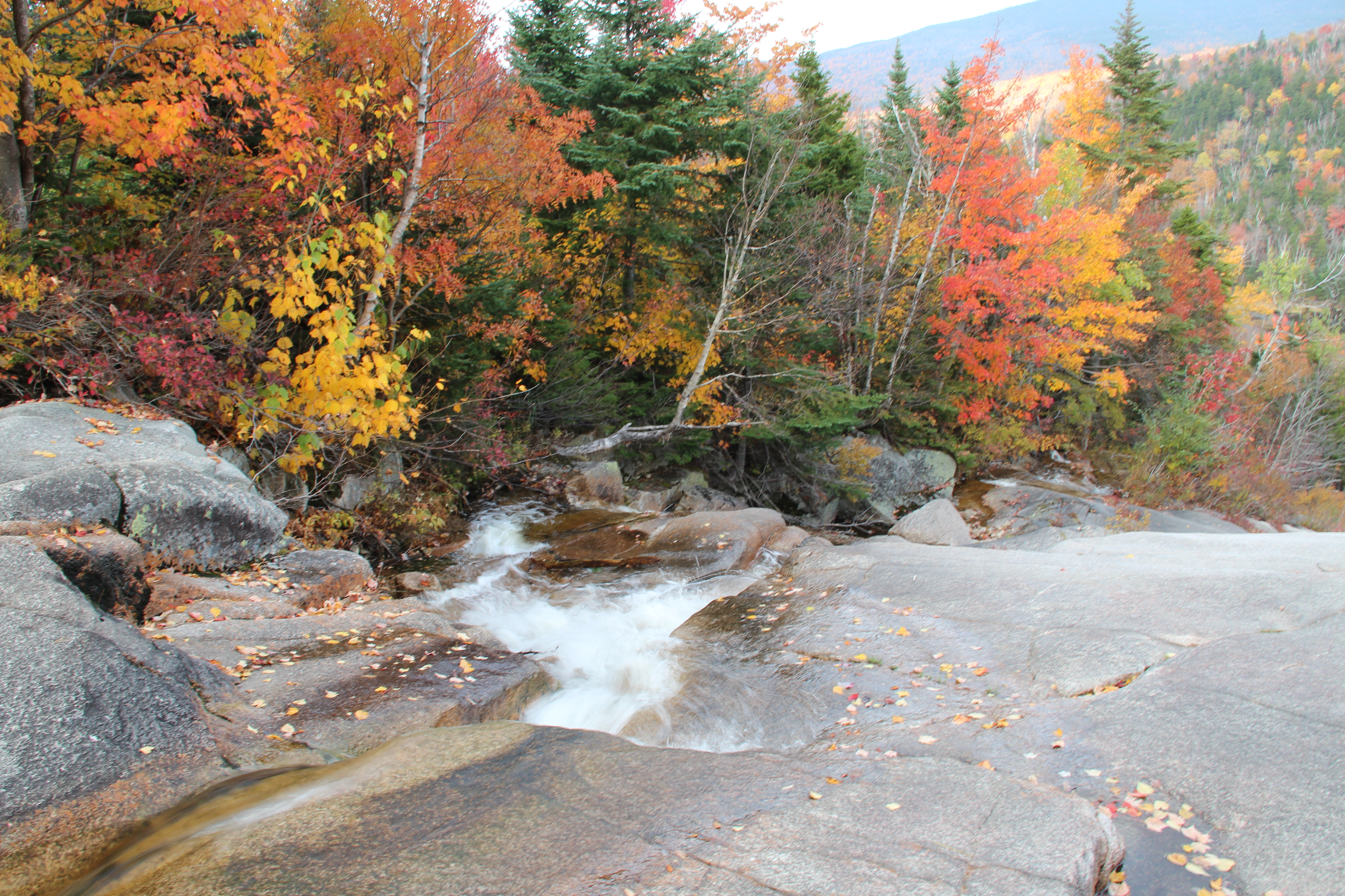
By the mid-morning, we had passed the viewpoint and crossed multiple small streams.

Viewpoint
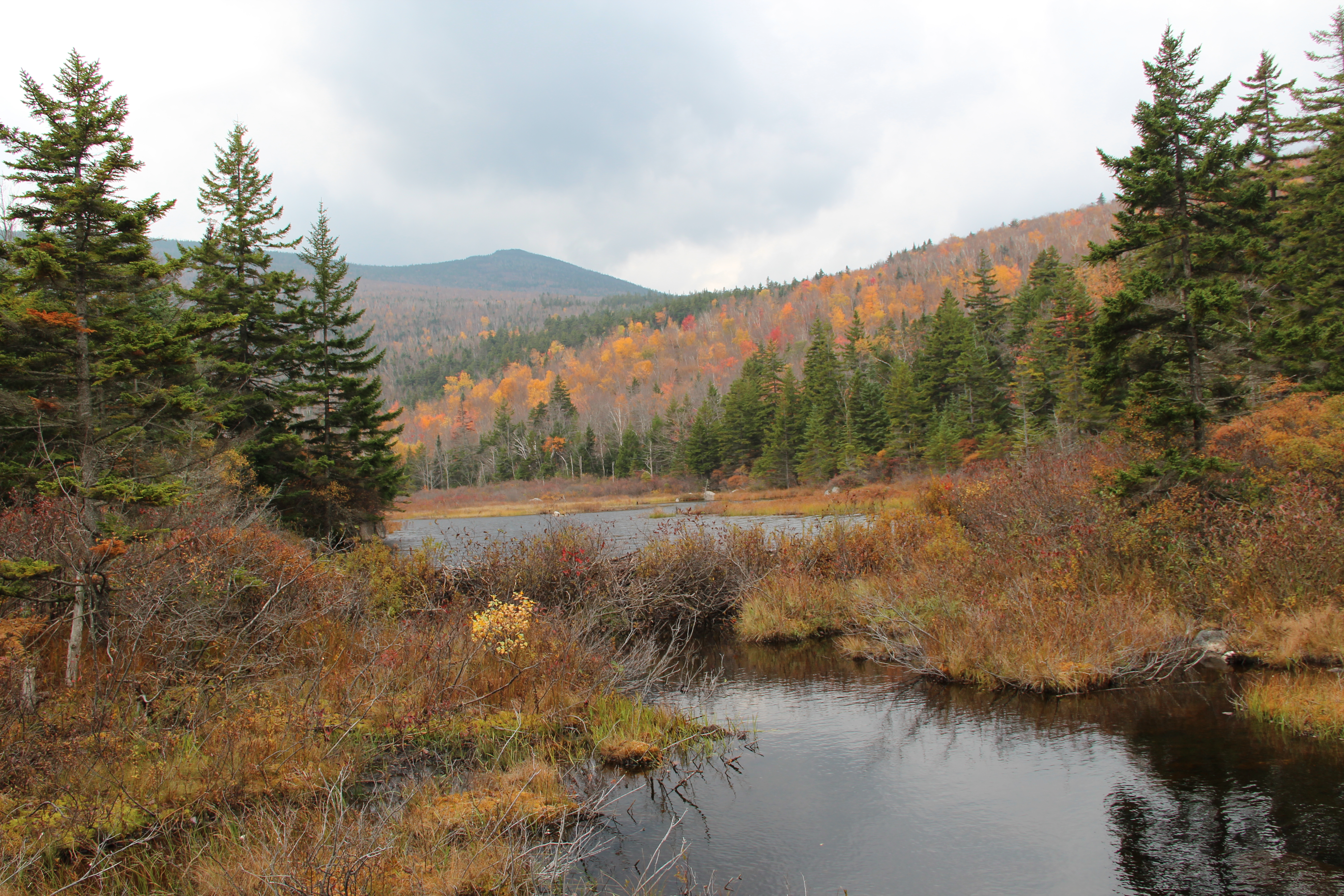
In early afternoon we took a long break at Zealand hut, deciding to enjoy the lovely water and view, even if slightly over populated. My ankle and knee also needed a little TLC, having only finished the Adirondack marathon a week prior to our departure. We asked for a camping recommendation a little more local, deciding that relaxing and enjoying each others company was our priority, instead of racing darkness over the next ridge line.


Fixing a leaky shoe with a zipblock bag

Lacing back up
The workers at Zealand Hut recommended a spot down the mountain, near the lake. As they said, “down the main trail and it will be the trampled leaves off to the right side.” It ended up being our favorite site in the whole trail. Not for any particular reason, besides the storm of yellow leaves that danced around us.

Our yellow forest
Day 6
We hiked back to the main trail and then out to the parking lot, a few miles from Zealand Hut and waited for the van to pick us up. It was the best six days I could ask for. Through rainstorm and pain, life showed all its beauty and strength. And what better company could a girl ask for then her dog and loving boyfriend?
The trail back to civilization
